We use cookies to improve our services and to make you offers related to your preferences. If you continue browsing, we will consider that you allow us to use them. You can change the settings or get more information on our Terms of use & Cookies Policy.

Close


OK
Close

Error


Please wait while processing...


Dear customer,
We are processing your request.
Please do not leave the session, this operation can take several minutes.
You will be informed when it is complete.
Thank you for your patience.

Your report has been successfully processed
Please help us to improve our product data by informing us of any errors you spot
Please select at least one type of error


Company Name
Phone Email
Submit

You have already signed up to the back in stock alert


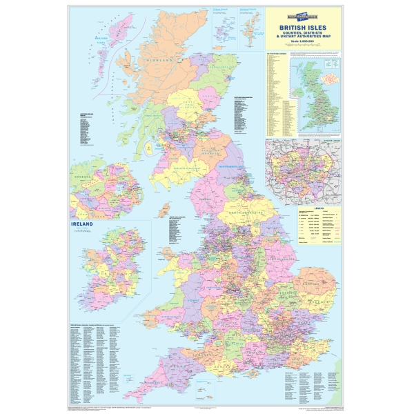
British Isle Counties And Region Map

Product Code: 3.811.239
  • Laminated, county, district & unitary authority boundaries

  • Shows motorways and primary roads

  • Write on, wipe off surface

See more details >

EUR 29.99  per Each

Login
Shows all the county, district and unitary authority boundaries within the United Kingdom
Each area is shown in a different colour to its neighbours
The map base shows motorways and primary roads (with more detailed roads on the London inset)
Inset is a map showing all of the postcode area boundaries within the UK, with a list of these areas giving their main postal towns
Inset map of London
Inset map of the whole of Ireland (Northern Ireland is also shown in full scale on the main map)
Scale: 1:800,000 (12 1/2 miles to 1 inch)
Laminated
No VAT
Price each
Made in the UK
  • In your catalogue

    View this product page 335

The best brands on Lyreco: